According to experts, the highest values will be recorded in the north and northeast of the province
Nuevo
Agregar La Derecha Diario en
Compartir:
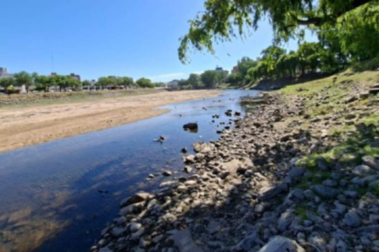
Extreme heat will persist in much of Córdoba over the coming days.
According to the Climate Outlook from the Buenos Aires Grain Exchange, after several days under a yellow alert, very high temperatures will be observed throughout the province until next week.
Ola de calor en Córdoba.
In the north and northeast, temperatures will reach up to 40 °C (104 °F). Meanwhile, in the central and southern areas, they will climb up to 35 °C (95 °F).
"Winds from the tropics will continue to blow, producing above-normal temperatures in most of the agricultural area, with intense heat pockets in the far north. Only the Atlantic coastal strip will observe readings within the normal range," the report states.
Thermal amplitude in Córdoba
Minimum temperatures are expected to hover around 10 °C (50 °F).
Ola de calor en Córdoba.
Southern winds will arrive, causing below-normal temperatures in most of the agricultural area, with risk of localized and meteorological frosts in the mountainous and Andean regions of the west and possible agronomic frosts in the Buenos Aires highlands, experts indicate.
Rain and storms in Córdoba
According to the forecast, storms will be present throughout the entire weekend.
A storm front will pass through, with highly variable activity, producing areas with moderate to abundant precipitation, with storms in specific locations; most of the central region will receive little to no rainfall.
Rain is expected in Córdoba, although not very abundant, with accumulations that could reach 10 millimeters (0.39 inches) in most of the province, with more rain toward the northeast.