Experts state that in August, a month of high risk due to fires, unexpected rainfall will occur
Nuevo
Agregar La Derecha Diario en
Compartir:
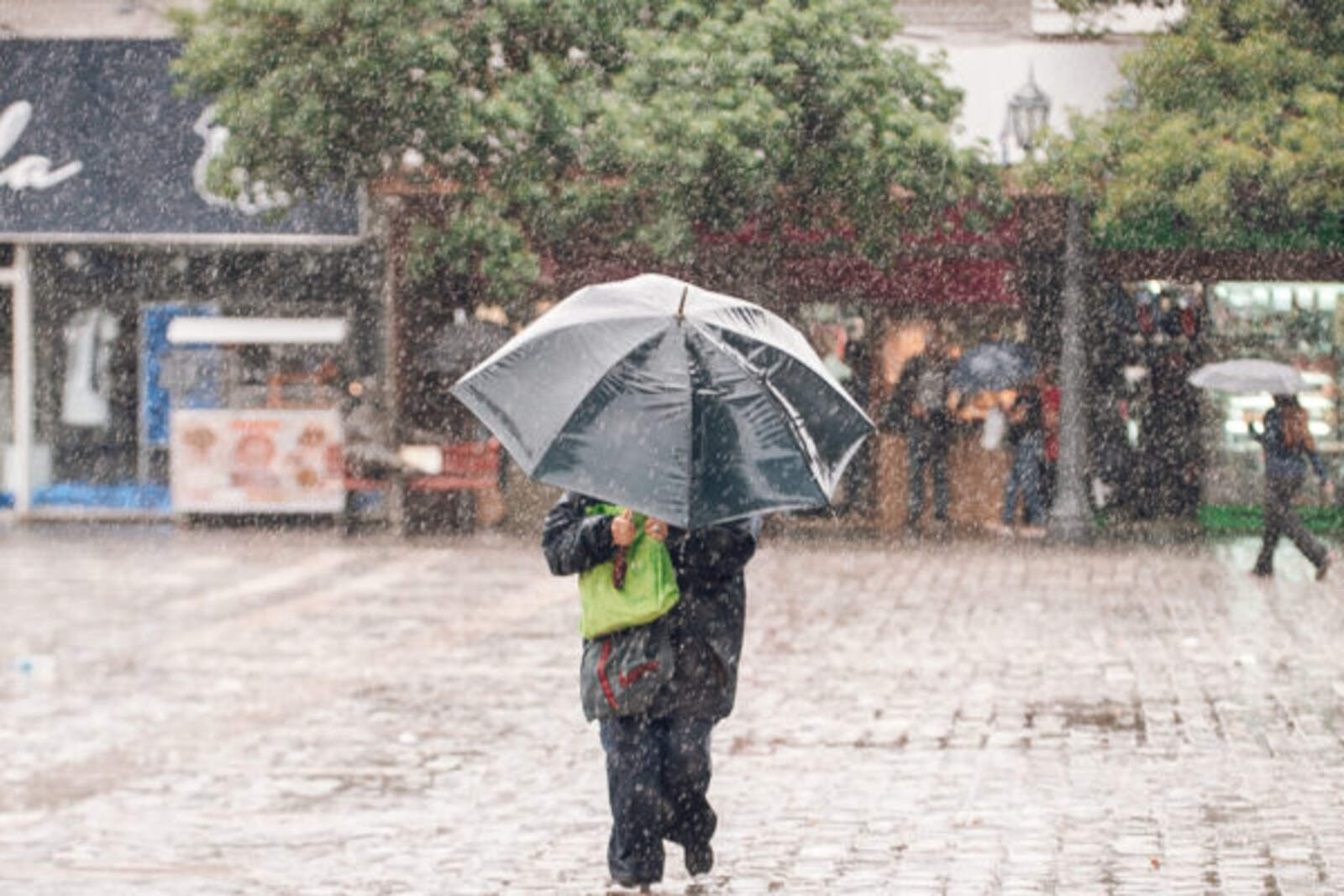
Climate experts maintain that this winter will be atypical in Córdoba due to the unexpected amount of rainfall.
They indicate that between August and September, a period characterized by drought and high risk of wildfires, there will be a greater volume of precipitation than usual for this time of year.
Meanwhile, the alert for severe storms, with wind gusts and occasional hail for the early morning in the city and some regions of the province remains in effect.
Este invierno será atípico por la cantidad de lluvias en Córdoba.
The director of the Salsipuedes Meteorological Observatory, Juan Mario Navarro, stated that "we are facing the possibility of breaking a historic record" for the province if a certain amount of water falls in the coming hours.
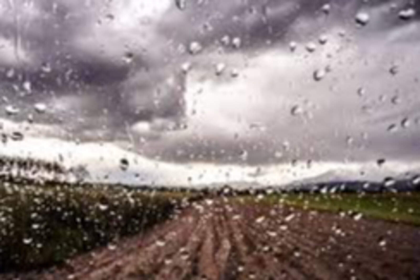
Rainfall in Córdoba and Buenos Aires
The climatologist warned that if there is precipitation between 80 and 100 millimeters in Buenos Aires and part of Córdoba, it will be the first time in 120 years that this occurs in the months of June, July, and August.
Almost in identical proportion to autumn and much higher than the historical average of 12 millimeters (0.47 inches) every 30 days during winter.
Navarro also predicted that some snow may fall on Tuesday evening at Cerro Champaquí due to the interaction of cold air and hail.
Finally, the meteorology specialist forecast that the Santa Rosa storm will reach the province between the upcoming 27th and 28th of this month.