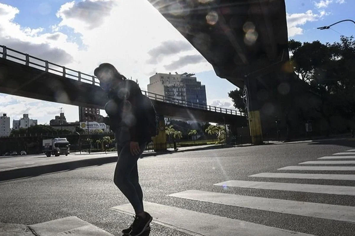
After several days marked by humidity, fog, and overcast skies, the Metropolitan Area of Buenos Aires (AMBA) begins to say goodbye to that pattern of weather. The arrival of colder air in the coming hours will change the conditions and bring more stable days.
According to the latest forecasts from the National Meteorological Service (SMN), the cold will be felt during the long weekend, although the reward will be the return of the sun. Sunday and the holiday Monday are shaping up to be the most pleasant days for outdoor activities, despite the low morning temperatures.
The influx of colder air over the next few hours will change the conditions
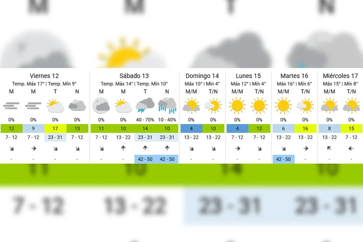
Friday 12: the last mild afternoon before the weather change
This Friday starts with isolated fog, variable cloudiness, and cool temperatures. Humidity continues to be a key factor, although the outlook will be very different from the last few days.
According to the SMN, the temperature will reach 17°C during the afternoon, with some moments of sun between the clouds and a moderate wind from the north. It will be the mildest day of the coming days.
By night, cloudiness will increase, and the advance of the cold front that will completely change the weather conditions on Saturday will begin to be felt.
This Friday starts with isolated fog, variable cloudiness, and cool temperatures
Saturday 13: isolated rains, strong winds, and a sharp drop in temperature
Saturday will be the most unstable day of the long weekend. The arrival of the cold front will cause a marked change in the air mass over the AMBA.
According to the updated forecast from the SMN, there is between a 40% and 70% chance of rain during the afternoon, while at night the chance of precipitation will remain between 10% and 40%.
Saturday will be the most unstable day of the long weekend
Additionally, an intensification of the wind is expected, with gusts that could range between 42 and 50 km/h, especially from the afternoon and during the early hours of the night.
The temperature will have little thermal amplitude. The minimum will be around 10°C and the maximum will barely reach 14°C, although the wind could make it feel lower.
Sunday: the sun returns and the cold intensifies
After the passage of the cold front, Sunday will offer a completely different scenario. The sky will be clear or with very little cloudiness throughout the day.
Sunday: the sun returns and the coldest weather arrives
The flip side will be the temperature. The dawn will show a minimum close to 4°C, while in areas far from the city center, even lower values could be recorded.
In the afternoon, the thermometer will barely reach 10°C. It will be a fully wintry day, although with abundant sunshine.
The dawn will show a low near 4°C
Holiday Monday: cold morning and pleasant afternoon
The holiday will maintain the stable conditions that will begin on Sunday. The SMN forecasts clear skies for most of the day and no rain.
The minimum will again be around 4°C, while the maximum will reach 12°C. The wind will lose intensity, allowing for better enjoyment of the sunny hours.
It will be one of the most recommended days for walks or outdoor activities, always with warm clothing during the early hours of the day.
Extended forecast - SMN
How will the weather continue next week?
The outlook shows a gradual recovery of temperatures starting Tuesday. The SMN anticipates maximums of 16°C for both Tuesday and Wednesday, with minimums between 6°C and 8°C.
Additionally, the sun will continue to dominate the weather scenario, consolidating the exit of the humidity that characterized much of the last few weeks.