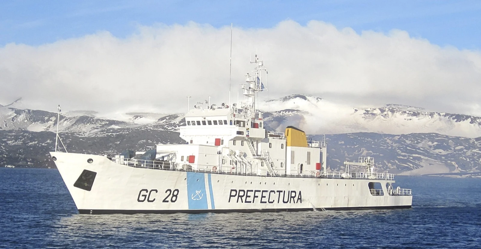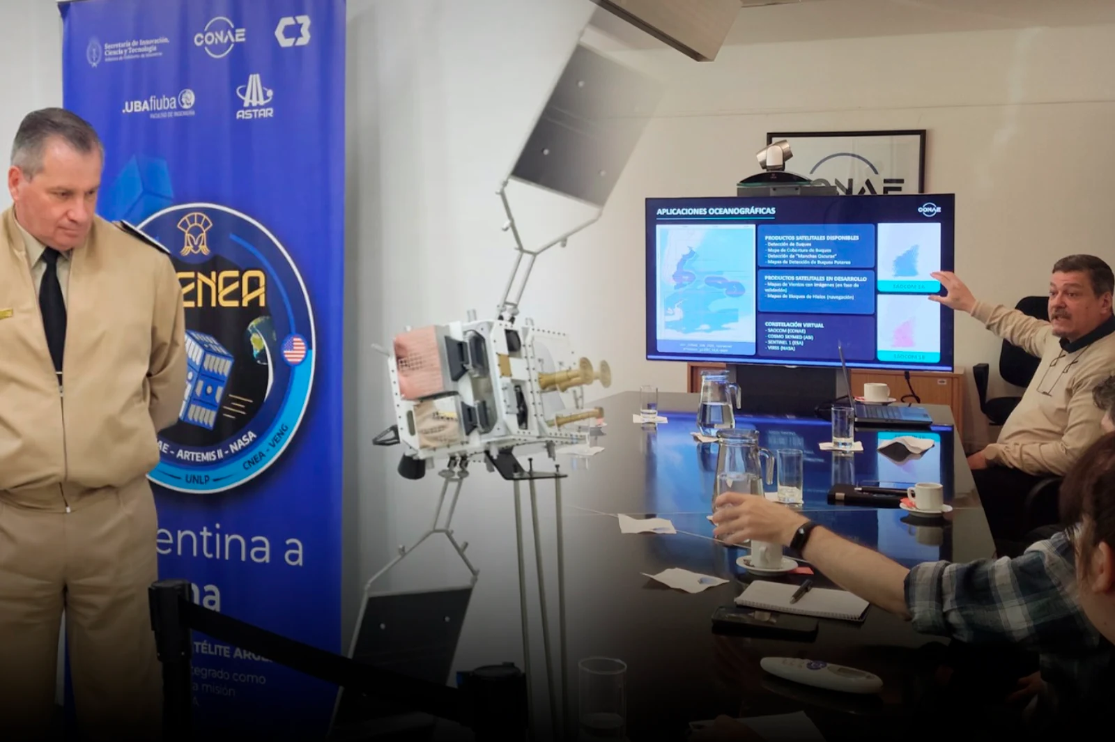











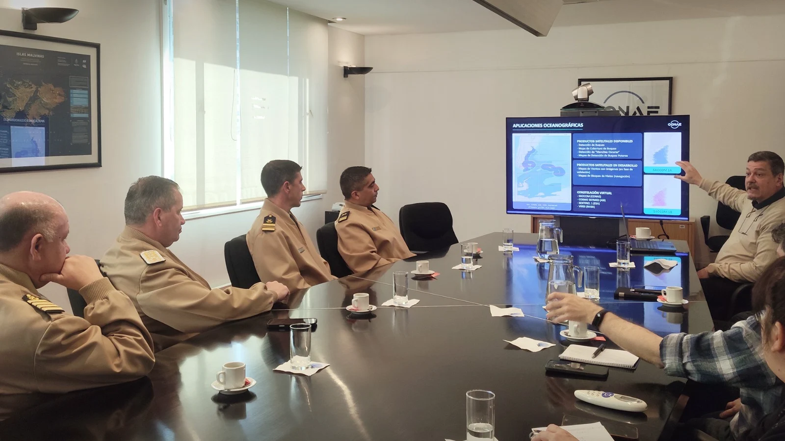
The force will use its operational deployment and control data obtained directly on the ground for these tasks, with the aim of contrasting them with the information generated from space.
Surveillance in inland rivers and border areas
The cooperation also includes expanding surveillance through satellite technology to inland rivers and border areas. In this regard, pilot projects have begun that use satellite sensors and change detection algorithms to identify clandestine landing strips related to drug trafficking and smuggling.
Additionally, monitoring of unauthorized landings and precarious ports located along the Paraná-Paraguay Waterway and the northern Argentine rivers is planned.
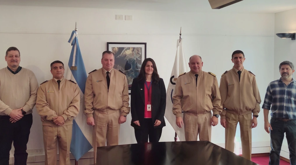
At the end of the meeting, the authorities emphasized the importance of linking scientific and spatial knowledge with the operational needs of the Prefecture.
The cooperation aims to deepen data exchange and optimize tools aimed at preserving natural resources and the security of areas under national jurisdiction