Snowfall could occur in some areas of the mountains. Authorities are urging people to drive with caution
Nuevo
Agregar La Derecha Diario en
Compartir:
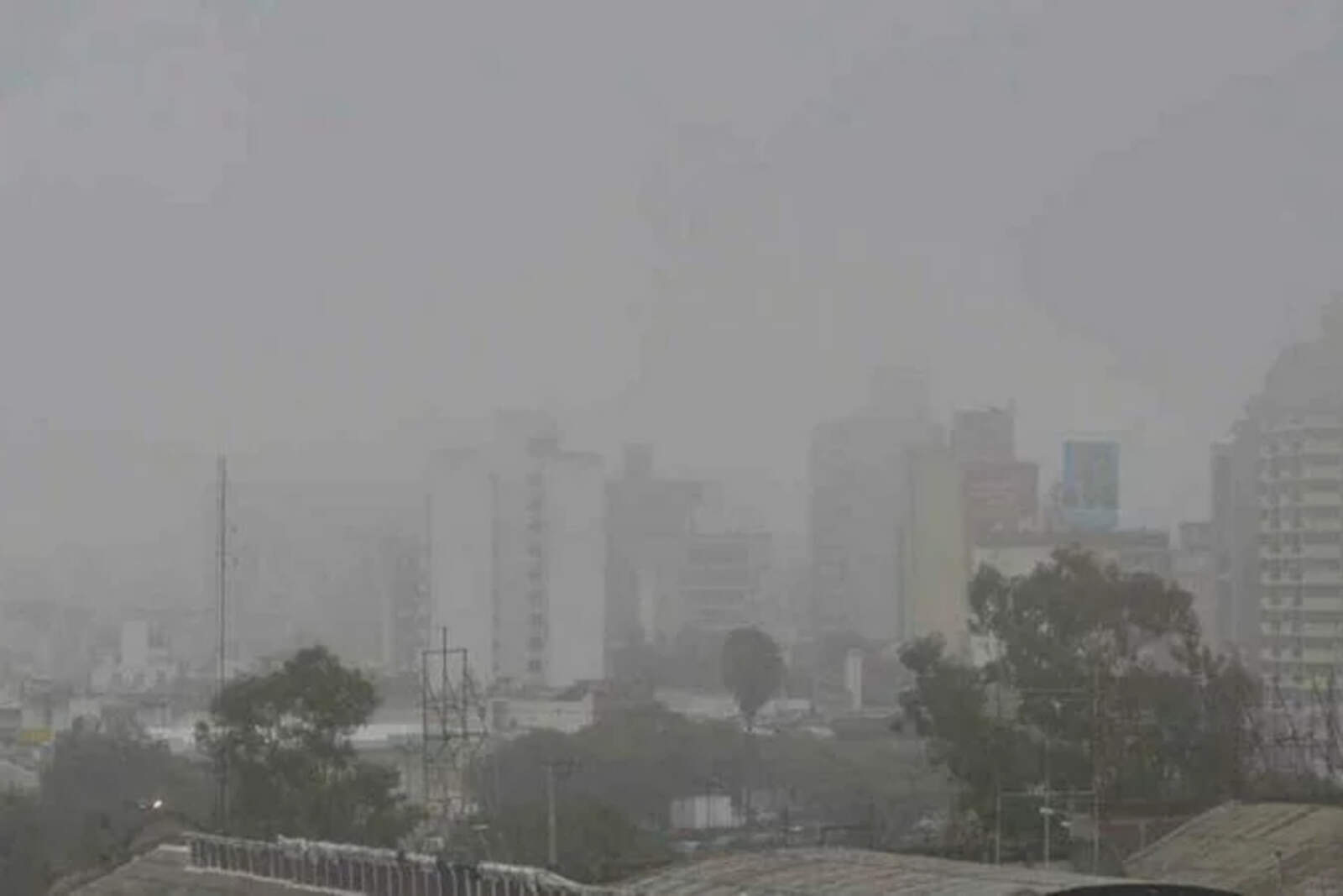
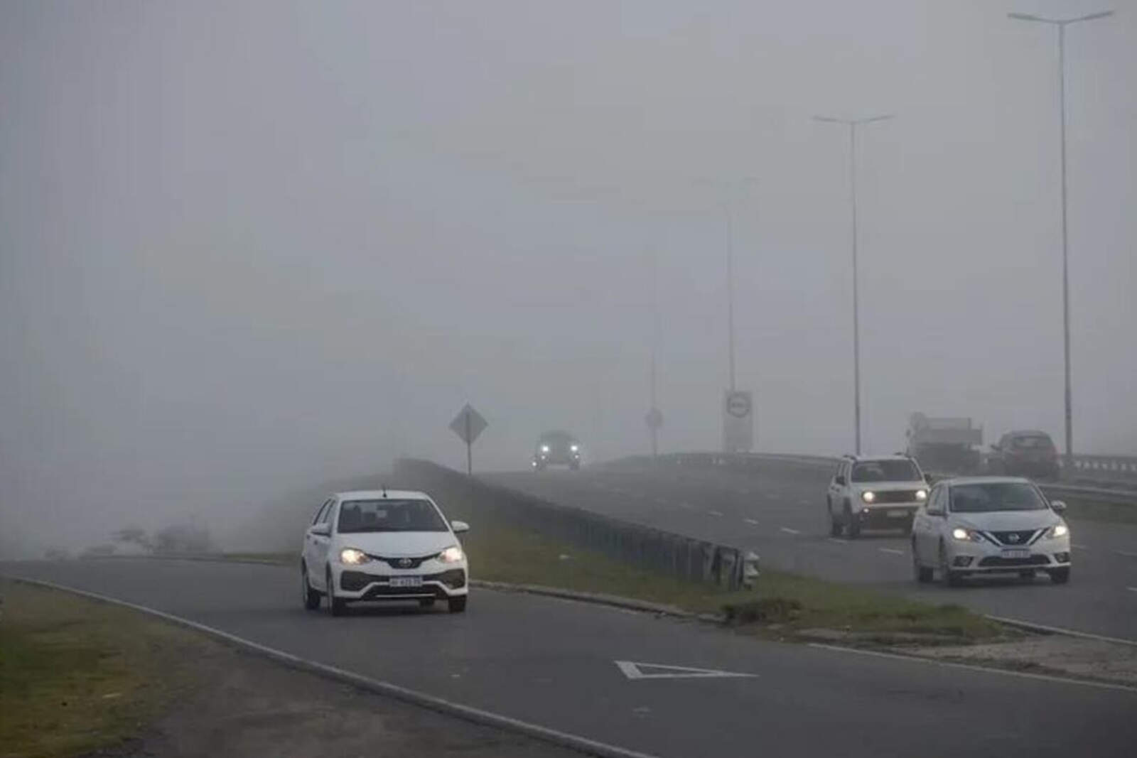
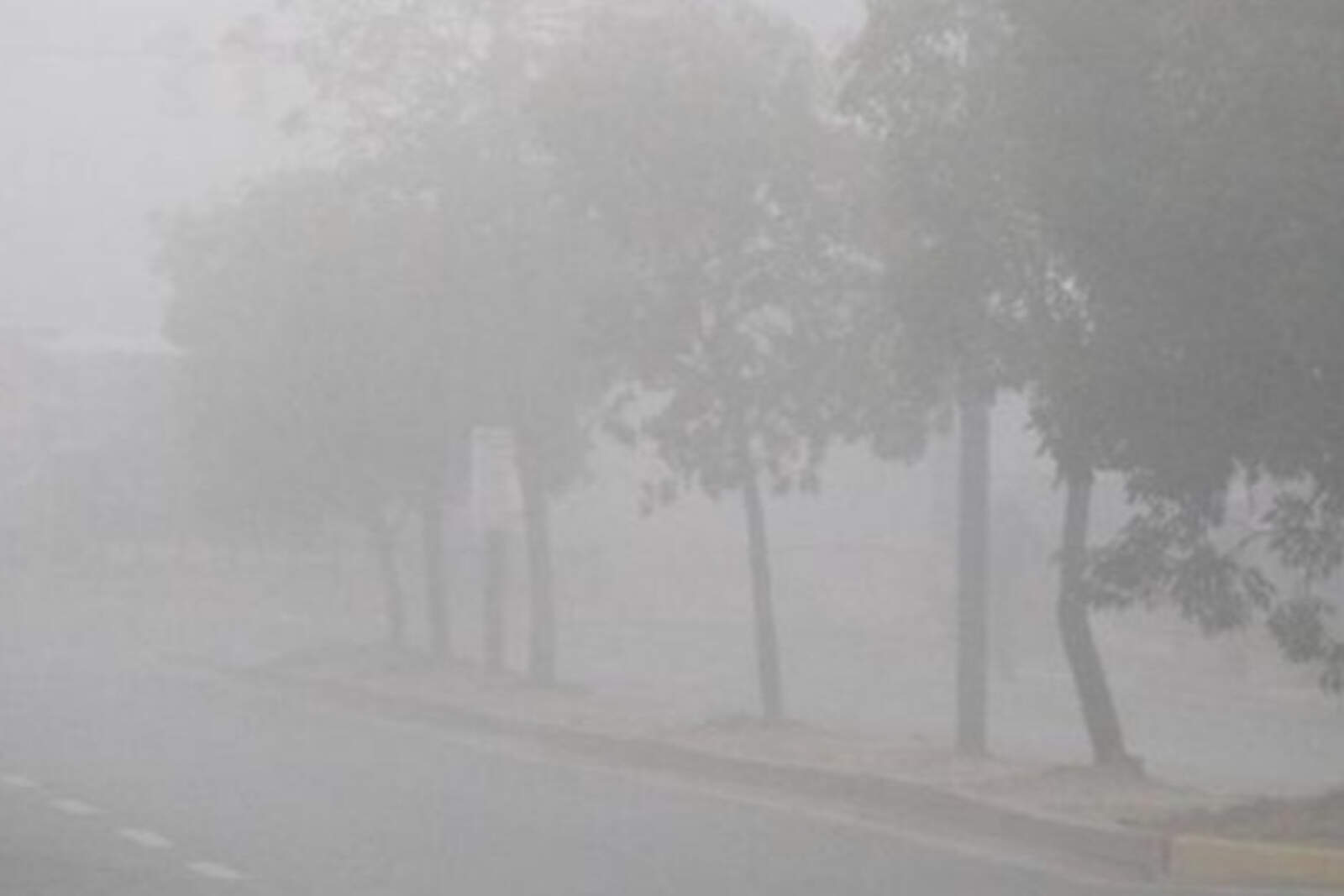
Córdoba, one of the provinces experiencing the cold wave affecting much of the country, woke up this Friday not only very cold but also covered by a thick blanket of fog.
Temperatures dropped to 41°F (5°C), while a high of around 64°F (18°C) is expected.
The forecast indicates that it will remain very cold, with frost expected and even the possibility of snow in some areas.
Neblina en Córdoba.
What the forecast says for Córdoba
Saturday, July 26: high of 57°F (14°C) and low of 50°F (10°C). Drizzle is expected throughout the day.
Sunday, July 27: high of 55°F (13°C) and low of 43°F (6°C). Mostly cloudy skies during the day.
Monday, July 28: high of 55°F (13°C) and low of 41°F (5°C). Skies ranging from mostly to partly cloudy during the day.
Tuesday, July 29: high of 59°F (15°C) and low of 43°F (6°C). Skies ranging from partly to cloudy during the day.
Wednesday, July 30: high of 59°F (15°C) and low of 50°F (10°C). Windy in the morning and cloudy throughout the day.
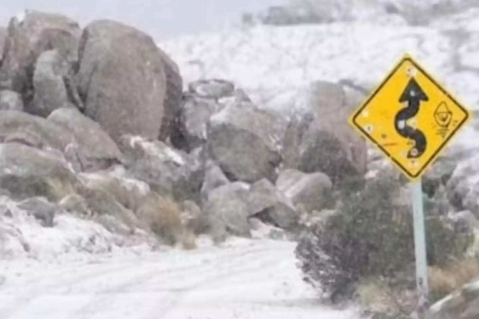
The six provinces under snow alert
Neuquén, Mendoza, Chubut, Tierra del Fuego, Río Negro, and La Pampa are under alert for snowfalls of varying intensity.
Nevadas.
According to the National Meteorological Service, snow accumulations between 10 and 16 inches (25 and 40 cm) are expected in the Mendoza mountain range, while on the Patagonian plateau, such as in western Río Negro and Chubut, between 4 and 8 inches (10 and 20 cm) are expected.
In flat areas of western La Pampa, light snowfalls could be recorded, a rare sight in that region.
Additionally, the NMS warned about extreme temperatures. For this Friday, lows down to 10°F (-12°C) are expected in southern Santa Cruz and western Neuquén, and highs that will not exceed 32°F (0°C) in much of the Patagonian interior.
In Cuyo and the south of Buenos Aires province, a sharp temperature drop is also expected, with highs of only 37°F (3°C) to 50°F (10°C).
In cities such as Ushuaia, Bariloche, Malargüe, Esquel, and San Martín de los Andes, the landscape is already completely white.
For Saturday, the cold will intensify in the south and west of Patagonia; lows could drop to 7°F (-14°C), while in the center of the country they will range between 21°F (-6°C) and 32°F (0°C), creating favorable conditions for widespread frost.