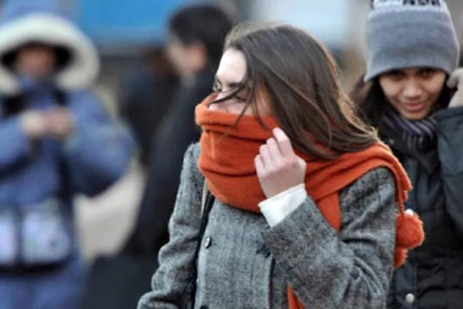
A mass of polar air settling over the center and south of the country will bring a freezing weekend, with concrete chances of snow in the southern part of Buenos Aires Province and unusual conditions in several areas of Buenos Aires Province, according to the National Meteorological Service (SMN).
Which cities in Buenos Aires Province could see snowfall
The SMN forecast that between the night of Saturday, June 28 and the early morning of Sunday, June 29, light snow or sleet could be recorded in the area of Tandil, Sierra de la Ventana, Pringles, and in other southern cities such as Coronel Dorrego, Tres Arroyos, Azul, Olavarría, and Benito Juárez. Even in coastal areas such as Mar del Plata and Necochea, and inland towns like Dolores or San Miguel del Monte, the combination of cold air and humidity could generate unusual phenomena for the region.
The last time AMBA and the City of Buenos Aires saw snowfall was on July 9, 2007, in an event still remembered for its exceptional nature. This time, although the probability of snow in the capital is low, in higher areas of the metropolitan area there could be isolated snowfalls during Sunday night or early Monday morning if all necessary factors are met.

Forecast: extreme temperatures and yellow alert
During the weekend, minimum temperatures in Buenos Aires will range between 37°F (3°C) and 45°F (7°C), and maximums will not exceed 59°F (15°C). For next week, the SMN expects the minimum to drop even further, reaching 37°F (3°C) between Monday and Tuesday.
The temperature drop will be more extreme in the interior of Buenos Aires Province, where snowflakes have already been recorded in municipalities such as Pilar and Tigre. Meanwhile, the Atlantic Coast and other areas such as General Pueyrredón, Pinamar, and Villa Gesell are under a yellow alert for low temperatures.


