This Saturday brings the traditional end-of-August storm. How will the weather develop in the coming days?
Compartir:
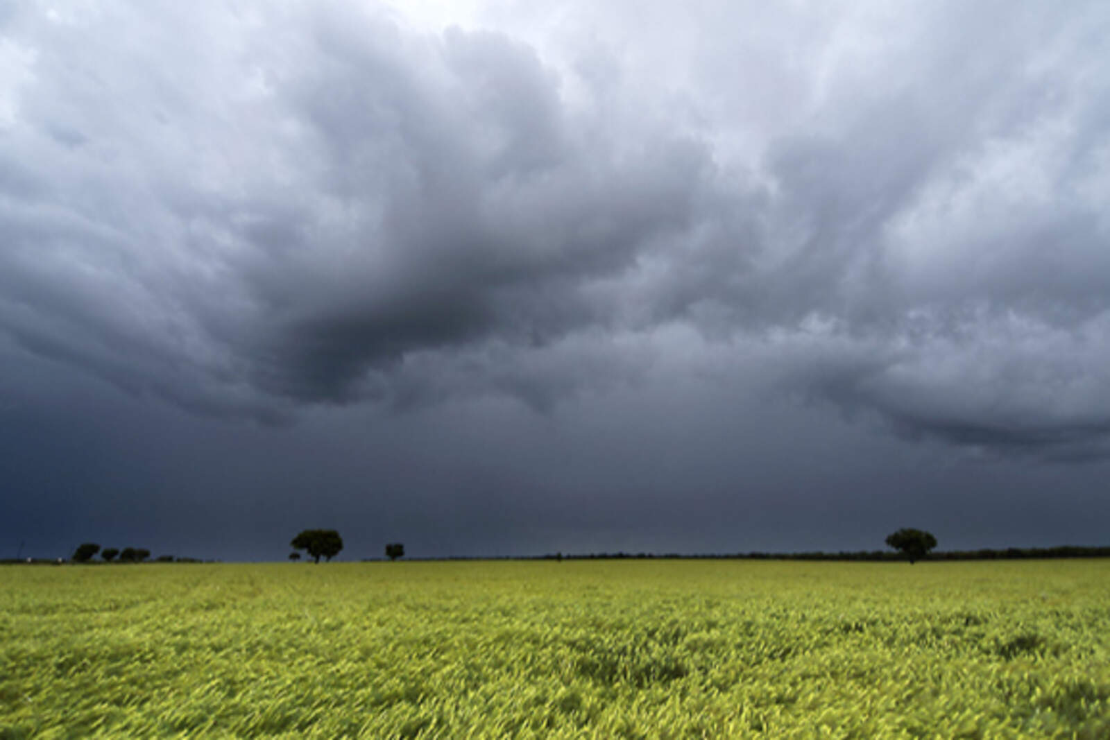
Córdoba will experience low temperatures and rain in the coming days.
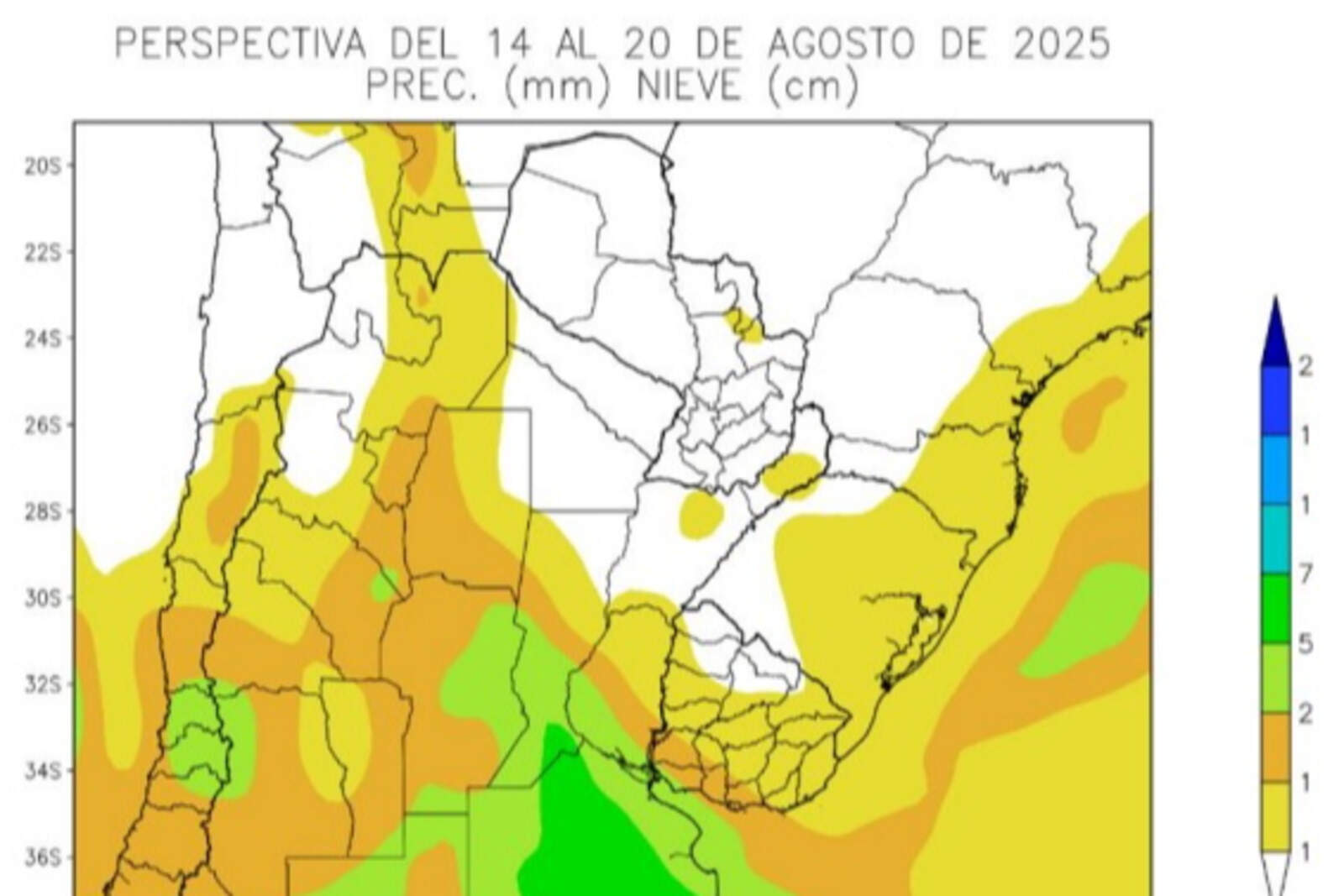
The Santa Rosa storm will arrive on Saturday, according to weather experts who prepare the agroclimatic outlook for the Buenos Aires Grain Exchange.
It is expected that from Saturday until Wednesday, September 3, between 20 and 25 millimeters (0.79 and 0.98 inches) will fall in the province.
Se espera que desde el sábado y hasta el miércoles 3 de septiembre caigan entre 20 y 25 milímetros en la provincia.
"The latest available data indicate that the Traditional Santa Rosa Storm will take place precisely on August 30, but with a very irregular distribution, concentrating over the central-eastern part of the agricultural area and leaving most of its extension with scarce records," the report states.
"This irregular development of the Traditional Santa Rosa Storm foreshadows a disturbed spring-summer season and, although this indicator doesn't have absolute value, it is advisable to take it into account as a warning and continue climate monitoring," it adds.
Temperatures drop in Córdoba
Minimum temperatures will drop below 10 °C (50 °F).
"Popular wisdom assigns predictive value to the storms that usually occur around the Festivity of Santa Rosa, which takes place on August 30: If the rainfall brought by Santa Rosa is widespread and abundant, it announces a spring-summer season above average. If it is moderate but well distributed, the outlook will be normal," states the BCBA.
Se espera que desde el sábado y hasta el miércoles 3 de septiembre caigan entre 20 y 25 milímetros en la provincia.
"If it is irregular, a season with negative disturbances should be expected. At the beginning of the outlook, polar winds, which entered in previous days, will continue to blow. Most of the agricultural area will observe temperatures somewhat below the seasonal average, except for its far north, which will record slightly above-normal values."
Meanwhile, maximum temperatures will rise to 25 °C (77 °F) in almost the entire territory, except for a portion of the north, where it will climb to 30 °C (86 °F).
"Tropical winds will return quickly, producing above-normal temperatures, with pockets of intense heat over the far north of the agricultural area, normal records over the center and southwest, and somewhat below normal over the southeast," the text notes.