The Mercator projection, created by the European cartographer Gerardus Mercator in 1569, is one of the most well-known. Its main feature is that it maintains certain directional relationships in a way that is especially useful for navigation.
In particular, lines representing constant bearings can be drawn as straight lines, a property that facilitated its use in nautical charts for centuries.
However, this technical advantage has an important consequence when used to compare areas. The Mercator projection progressively increases the apparent size of regions as they approach the poles. This means that certain land masses can appear much larger on a Mercator map than they actually are.
One of the most well-known examples is the comparison between Greenland and Africa. In a Mercator-based representation, Greenland can appear to be a similar size to the African continent. In terms of actual area, however, Africa is approximately 14 times larger than Greenland.
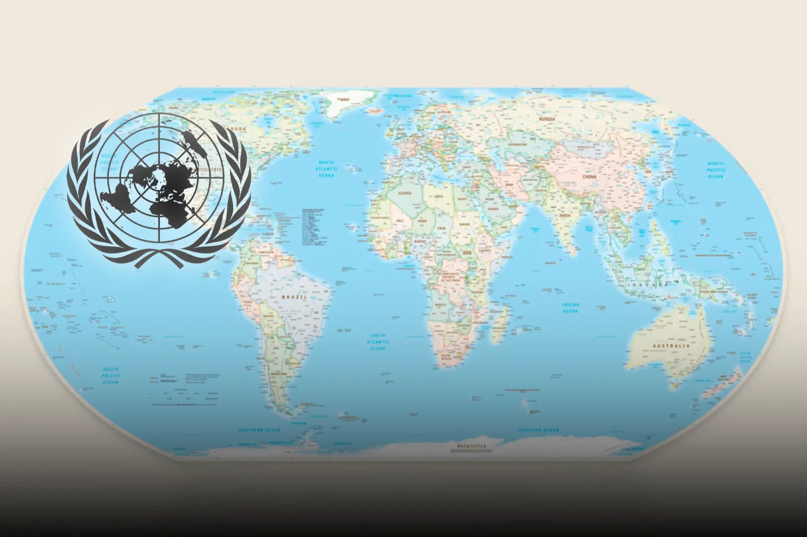
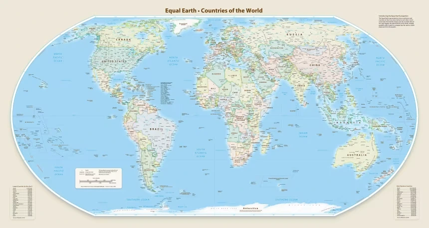
The Equal Earth projection seeks to correct this type of distortion. Its goal is to more accurately preserve the relationship between areas, allowing for visual comparisons that are closer to the actual dimensions of the territories.
The change was formally driven by the Republic of Togo and members of the African Union.
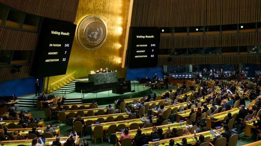
The United Nations General Assembly approved a resolution this Friday promoting the global use of a map capable of reflecting the relative size of countries and continents more accurately.
The measure focuses on the limitations of the traditional Mercator projection, used for centuries and still widely employed in various types of maps.
The resolution received 164 votes in favor, one against, and six abstentions. Although it is not legally binding, it proposes to advance the use of the so-called Equal Earth projection, designed to more faithfully represent the proportions of land surfaces.
The Equal Earth map
The central problem is related to how a spherical surface is represented on a plane. When transferring the planet to a two-dimensional map, it is impossible to simultaneously preserve all geographical properties.
That is why there are different cartographic projections, each of which prioritizes certain aspects, such as areas, distances, shapes, or directions.