They warn that the cyclone has become a category 4 with winds of 240 km/h (149 mph) and could make landfall during Holy Week
Nuevo
Agregar La Derecha Diario en
Compartir:
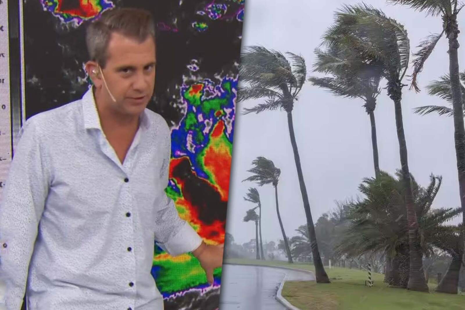
The cyclone Errol took meteorologists and residents of northwest Australia by surprise. In a few hours, it went from being a simple storm to becoming a high-danger phenomenon.
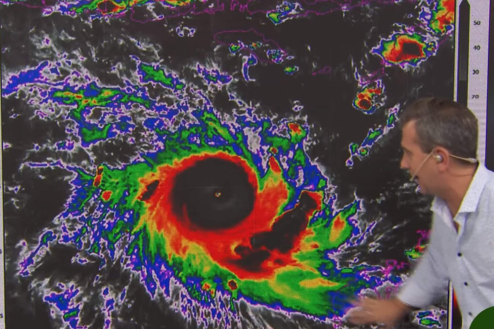
Meteorologist Matías Bertolotti explained that the cyclone reached category 4 with winds of up to 240 km/h. Its trajectory is particularly concerning due to the potential impact during Easter.
Matías Bertolotti explicó que el ciclón alcanzó la categoría 4
What did Matías Bertolotti say about cyclone Errol?
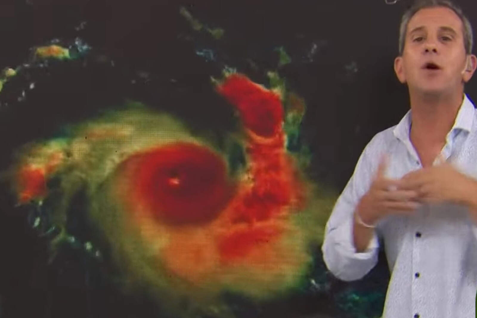
In his report, Bertolotti emphasized that "it intensified in an unexpected way". According to his details, the system formed in the northwest of Australia and quickly advanced to become a powerful cyclone.
The phenomenon went from a simple accumulation of clouds to a category 4 tropical cyclone. This means sustained winds of more than 240 km/h, making it a high-risk weather event.
A bad forecast for Australia
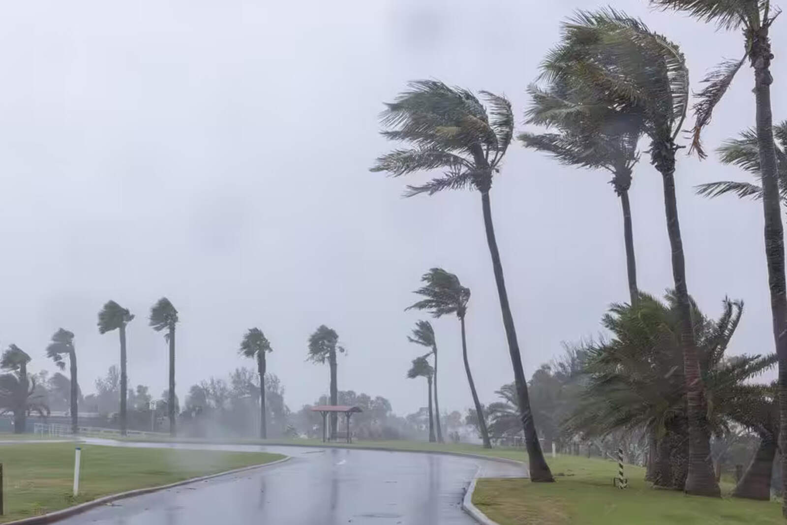
Cyclone Errol is heading directly to the mainland, so evacuations, power outages, and structural damage are expected.
The meteorologist explained that cyclones in that region are common, but they don't usually reach such intensity in such a short time. "They are like hurricanes," he noted, comparing their impact to Atlantic phenomena.
El ciclón Errol se dirige directamente a tierra firme
Which areas of Australia could be most affected?
The focus of concern is on the northwest of the country, where thousands of people live. The cyclone's speed and strength could generate severe storms, heavy rains, and flooding.
Australian authorities have already issued alerts and are working on preventive measures.
El foco de preocupación está puesto en el noroeste del país
The direct impact is expected between Thursday and Friday, coinciding with the start of the long weekend for Easter.