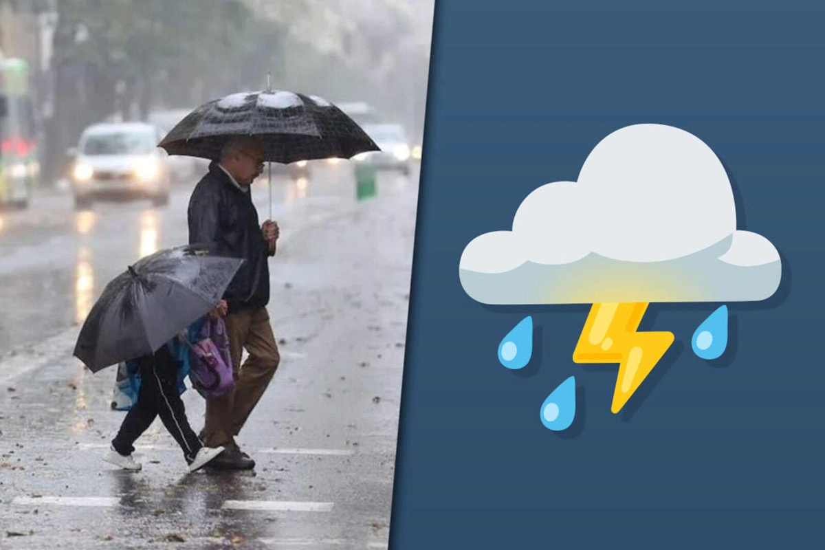

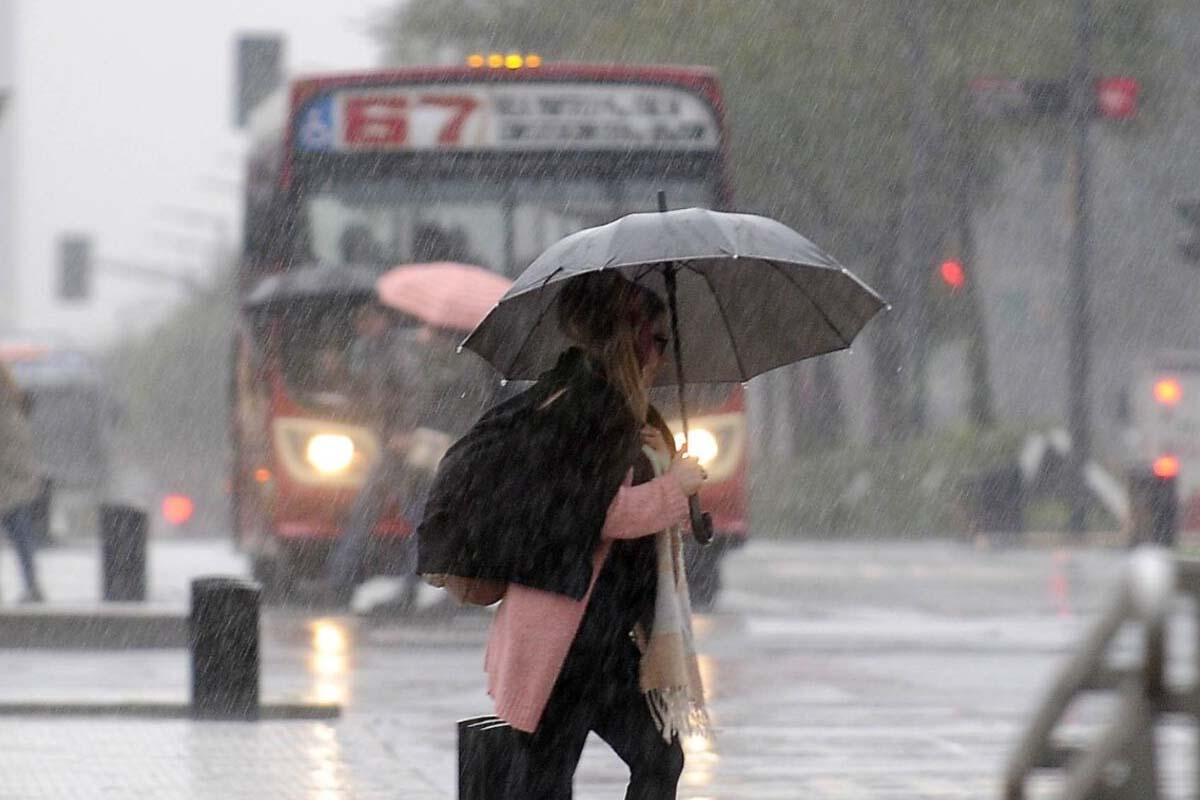
The Metropolitan Area of Buenos Aires (AMBA) is going through another day marked by climate instability this Thursday, May 7, after the severe storm recorded on Wednesday.
According to the updated forecast of the National Weather Service (SMN), there are still rains, intense gusts and a marked drop in temperature in the City of Buenos Aires and the Conurbation.
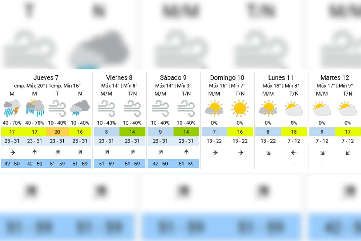
What is the weather like this Thursday, May 7 at the AMBA
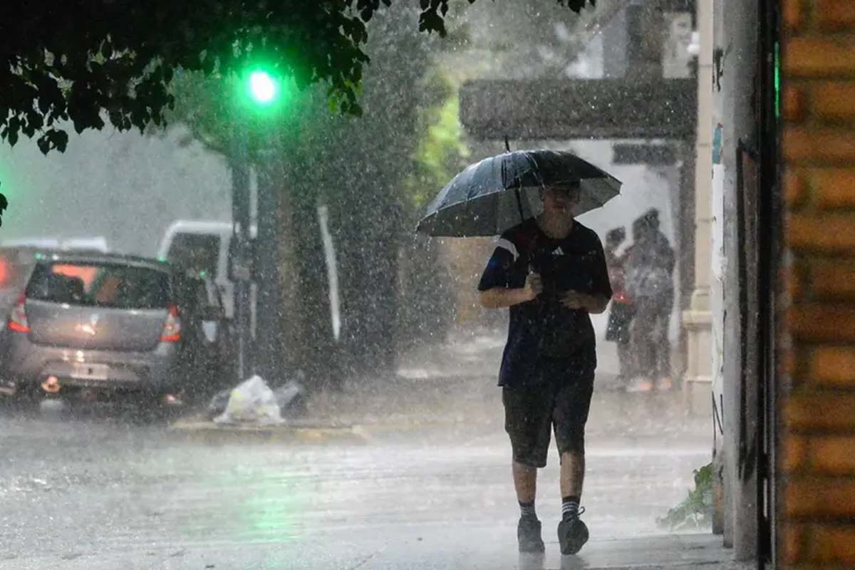
Thursday, with isolated storms and rains in different sectors of the AMBA. Rainfall continues during the morning, with a probability of between 40% and 70%.
Towards the afternoon, conditions will tend to partially improve, although there could still be isolated showers. For the night, the chance of rain drops to values of between 10% and 40%.
The temperature will move between 16°C minimum and 20°C maximum.

Strong wind and gusts in Buenos Aires
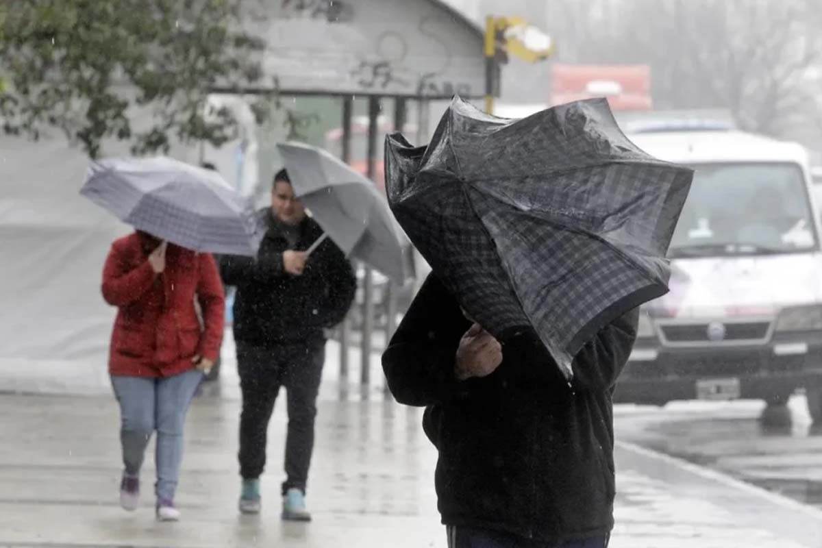
One of the highlights of the forecast is the intensity of the wind. Winds from the south and southeast of 23 to 31 km/h are expected for much of Thursday
, and the SMN forecasts gusts that could reach 51 to 59 km/h, especially during the afternoon and night
.
What happens to cyclogenesis and why there were so many storms
The episode of instability is linked to a process of cyclogenesis, a meteorological phenomenon associated with the formation or deepening of a low
pressure system.As explained by the SMN, this scenario favors heavy rains in short periods, strong storms and gusts of wind that affect much of the province of Buenos Aires and other regions of the country.
During Wednesday and early Thursday morning, there were storms with significant accumulations of water in different sectors of the AMBA.
What will the weather be like on Friday, May 8
The cold and windy environment in Buenos Aires will continue on Friday. The SMN maintains a low probability of isolated rains throughout the day, with values between 10% and 40%