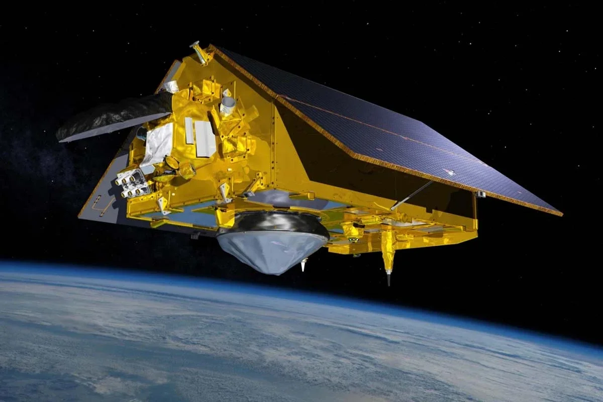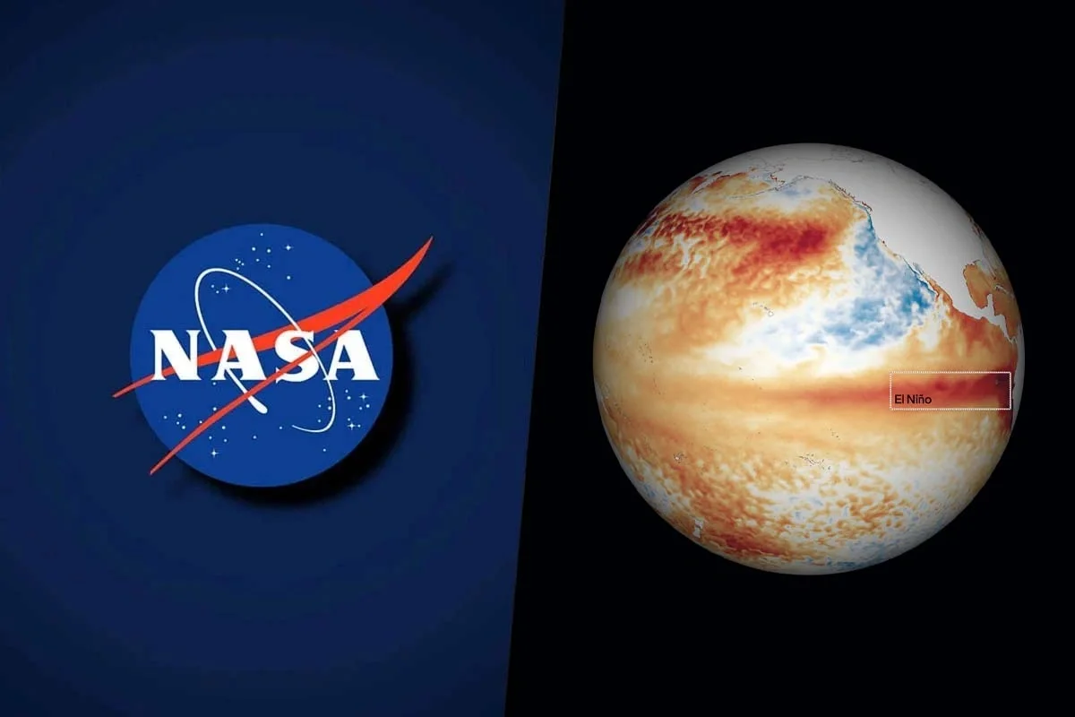











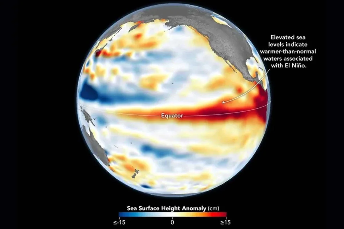
The NASA captured a gigantic warm water wave in the Pacific Ocean linked to the current phenomenon of El Niño. The images were obtained by the Sentinel-6 Michael Freilich satellite.
The data shows an extensive band of warmer waters and above-average sea levels extending along the equator of the Pacific.
What NASA detected about El Niño in the Pacific Ocean
The observed formation corresponds to a Kelvin wave, a mass of warm water that travels across the ocean and temporarily alters the height of the sea surface.
The images captured on June 8 show red areas where the sea surface is above normal values and blue sectors where the opposite occurs.
According to information released by the NASA, in some points along the equator, sea height exceeds normal levels by more than 15 centimeters.
How the Kelvin wave associated with El Niño works
Kelvin waves are generated when the winds in the western Pacific weaken or temporarily change direction.
This process allows warm water to gradually accumulate towards the east, increasing the thickness of the warmer surface layers.